Year: 2010 - 2013 - 2014
Design / Surveying
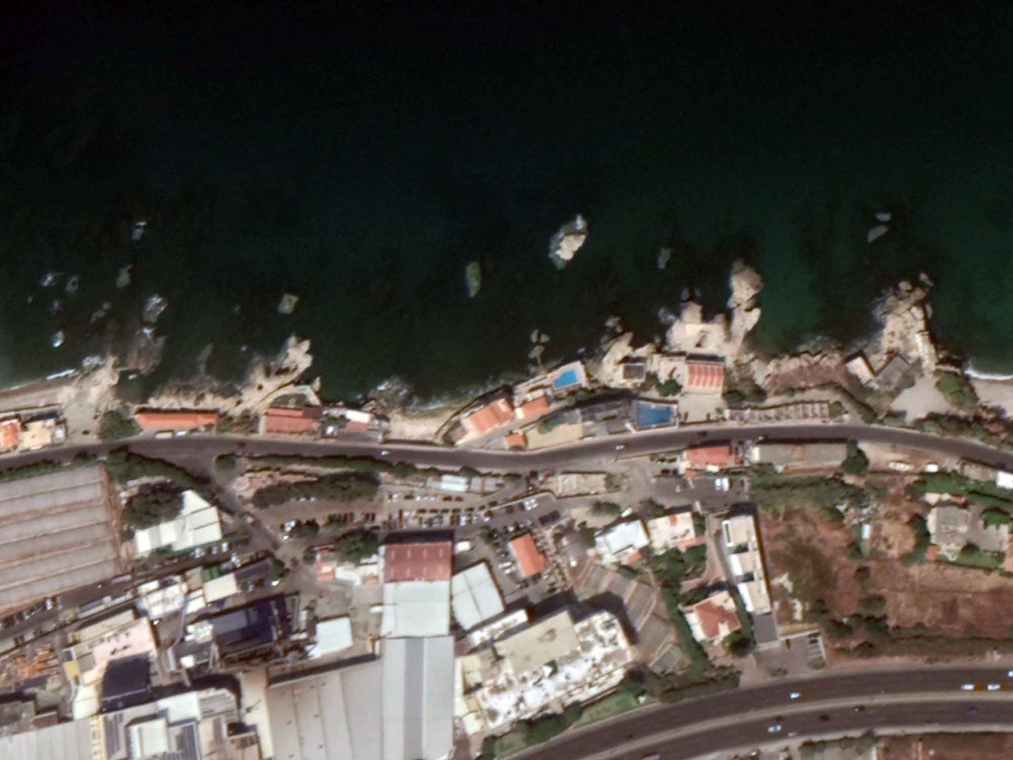
Halate Fishing Port
- Master Plan
Year: 2015
Design / Surveying
- Master Plan update
- Berthing capacity (162 boats)
- Main breakwater (Rubble mound type; L=314m @max -9.00m MSL / 9 and 16m3 precast concrete Accropodes blocks for armor layer)
- Secondary breakwater (Rubble mound type; L=62m @max -5.00m MSL / rocky protection)
- RC seawall (L=47m) with underwater concrete foundation
- Quaywalls (L=167m @-2.00m MSL) / Precast concrete blocks (Gravity QW)
- Quaywalls (L=25m @-3.00m MSL) / Precast concrete blocks (Gravity QW)
- Quaywalls (L=146m @-4.00m MSL) / Precast concrete blocks (Gravity QW)
- 2 Finger piers (L=60m @-3.00m MSL) / Precast concrete blocks
- Marine accessories (Mooring bollards, fenders)
- Slipway (Boat ramp / L=36.00m)
- Bituminous / RC Platforms (11,700m2)
- Infrastructure (Electrical supply, pipes, manholes, lighting poles)
- Infrastructure (Water supply, Pumps, pipes, manholes, tanks)
- Fishermen rooms (160m2)
- Fueling station
- Basin (10,000m2)
- Dredging works for basin, quaywalls foundations and breakwater toe
- Topographic survey (12,800m2)
- Bathymetric survey (41,500m2)
- Drawings / BoQ


 CLIENT